the Windward side
Kahana Valley State Park
A whole valley from ridge to reef on the windward coast, with a bay at the bottom of it.
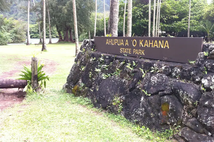
Why go
It is the last publicly owned ahupuaa on Oahu, which means you can walk the shape the island was organised into for a thousand years.
The catch
It rains here more than almost anywhere else on the island and the valley trails turn to mud. The bay is calm and shallow but often murky after rain.
- How long
- 2-4 hours
- With children
- Yes
- Effort
- Moderate
- Cost
- Free
- Parking
- Easy
Getting there
Driving times on real roads, from the same data the trip planner routes on — not straight-line distance.
| From Waikīkī | 1 hr 3 min | 28.6 miles |
|---|---|---|
| From HNL airport | 1 hr 15 min | 33.1 miles |
| From Turtle Bay | 36 min | 15.4 miles |
| From Kailua | 50 min | 21.7 miles |
Add traffic. These are free-flowing times, and the H1 through town at eight in the morning is not free-flowing.
More on Kahana Valley State Park: Wikipedia · OpenStreetMap
Hours, fees and access rules have not been checked against a primary source for this entry yet. Confirm before you build a day around it.
See it on the map Build a trip around it
What else is close
Nearest by road, which is not the same as nearest on a map — and not the same as sharing a region either.
- Huilua Fishpond6 min awayA walled Hawaiian fishpond at the mouth of Kahana Bay.
- Kualoa Ranch15 min awayA working ranch in a valley you have seen in films, with tours by ATV, horse and bus.
- Kualoa Regional Park17 min awayA grassy shoreline park looking out at a small cone-shaped island.
- Polynesian Cultural Center21 min awayA large park where islands across the Pacific each show their own culture, ending with a big show.
- Lāʻie Point23 min awayA narrow point of rock running out into the sea, with a sea arch off the end of it.
- Byodo-In Temple33 min awayA red Japanese temple at the foot of the cliffs, with koi ponds and a big bell.