the Windward side
Lanikai Pillbox Trail
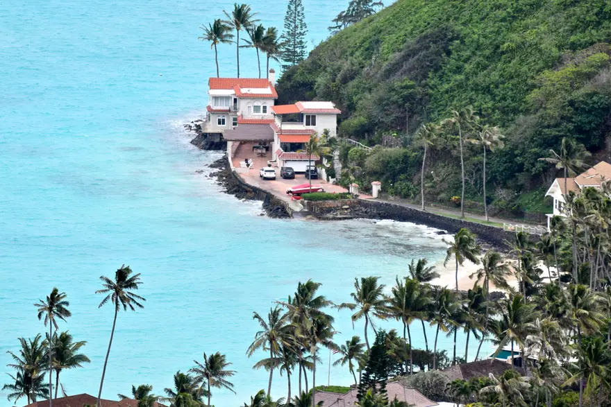
A short, steep climb up Kaiwa Ridge to two wartime observation posts above Lanikai.
Why go
Forty minutes of effort buys the view of the Mokulua islands that everyone else is looking at from the beach.
The catch
The first section is loose, steep and genuinely slippery after rain. Parking is in a residential neighbourhood that tickets and tows, and there is no shade anywhere on the ridge.
- How long
- 1-2 hours
- With children
- With care
- Effort
- Moderate
- Cost
- Free
- Parking
- Difficult
Before you go
- Minimum age 6
- Not worth it in poor weather
- Busiest at first light
Getting there
Driving times on real roads, from the same data the trip planner routes on — not straight-line distance.
| From Waikīkī | 37 min | 17.1 miles |
|---|---|---|
| From HNL airport | 55 min | 26.1 miles |
| From Kailua | 8 min | 2.3 miles |
| From Downtown Honolulu | 31 min | 13.8 miles |
Add traffic. These are free-flowing times, and the H1 through town at eight in the morning is not free-flowing.
More on Lanikai Pillbox Trail: OpenStreetMap
Hours, fees and access rules have not been checked against a primary source for this entry yet. Confirm before you build a day around it.
See it on the map Build a trip around it
What else is close
Nearest by road, which is not the same as nearest on a map — and not the same as sharing a region either.
- Lanikai Beach2 min awayCalm, bright blue water that genuinely looks like the postcard.
- Kailua Beach Park5 min awayA long white beach with actual facilities and room to spread out.
- Likeke Falls18 min awayA wide, low fall over mossy rock, reached by a short walk off the old Pali road.
- Pali Lookout18 min awayThe gap in the Koolau range where the wind comes through, looking down over the windward coast.
- Hoomaluhia Botanical Garden24 min awayA huge free garden with a road running straight at the green cliffs.
- Waimanalo Beach24 min awayA very long, quiet white sand beach backed by pine trees.